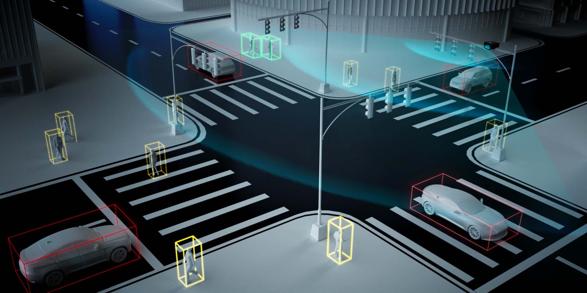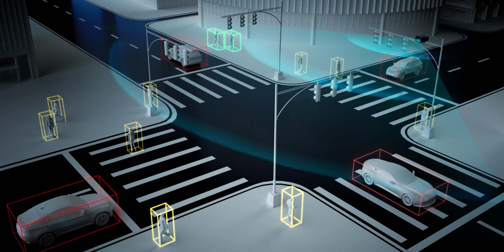


Benewake LiDAR has been deeply involved in the construction of "Smart Highways" scenarios in 10+ provinces and 20+ cities domestically and internationally. It is applied in various scenarios such as vehicle-road coordination, monitoring of highway sections, intersection perception, vehicle height restriction detection, tunnels, and many others, providing a completely new perspective and method of perception.
Compared to traditional perception methods, Benewake LiDAR combines advantages such as imaging capability, all-weather operation, and multidimensionality, allowing for accurate identification of target positions. Through LiDAR, functionalities such as target positioning, information recognition, and multidimensional perception in roadside scenarios are realized. Simultaneously, the data is transmitted to the cloud, where it assists cloud-based systems in achieving unified control, ultimately enhancing the intelligence level of both vehicles and roads to ensure safe driving.


